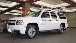
LYNX Mobile Mapper

Oct. 2, 2009
  • Provides high-definition mobile scanning data collection and processing
  • Uses the most advanced ground-based LiDAR sensors, internal measurement unit navigation system, digital cameras and GPS
  • Quickly and precisely collects survey-quality point data

Request More Information

By clicking above, I agree to Endeavor Business Media's Terms of Service and consent to receive promotional communications from Endeavor, its affiliates, and partners per its Privacy Notice. I also understand my personal information will be shared with the sponsor of this content, who may contact me about their offerings per their privacy policy. I can unsubscribe anytime.